In this guide
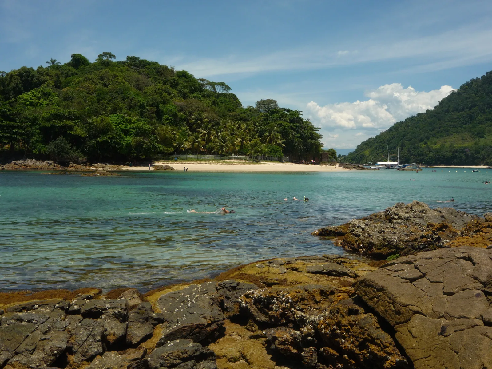
The road that hugs this coast has an unglamorous name and a reputation that runs ahead of it. People call it the Rio Santos road, or simply Rio-Santos, and on the map it is a thin line tracing the edge of the continent between two big cities. What that thin line does not tell you is that it threads a needle the whole way, running along a shelf of land only a few hundred metres wide, with the Atlantic on one side and a wall of forested mountains on the other. For long stretches you can see both at once, the sea flat and silvered below you and the Serra do Mar climbing green and vertical above.
Most visitors meet this road because it is the way to Paraty, and the way to us. Château Portofino sits about four hundred metres up the hillside above the bay, a short drive off the highway, and nearly everyone who stays here arrives along the Rio-Santos at some point in their journey. So this guide is written from the inside. It is not a brochure for the drive and it will not pretend the road is effortless. It is honest about the curves, the trucks, the rain, and the days you should not attempt it, alongside the parts that genuinely deserve their reputation.
The short version is this. The Rio Santos road BR-101 is one of the great coastal drives in Brazil, on a par with anything you have done in California or along the Amalfi coast, and it is also a working two-lane highway that asks for your full attention. Get the timing right, keep your speed sensible, and build in the stops, and it becomes part of the holiday rather than a chore to be survived. Get it wrong and it is a long, tense afternoon. The rest of this piece is about getting it right.
What the Rio Santos road actually is
The name is older than the road you drive today. Historically the Rio-Santos linked Rio de Janeiro with the port of Santos, down on the São Paulo coast, and the whole corridor still carries that shorthand. Officially the route was renamed the Rodovia Governador Mário Covas some years ago, and you will see that name on signs, but almost nobody uses it in conversation. Along the Costa Verde, the green coast that runs from the outskirts of Rio down to the state line and beyond, the road is the federal highway BR-101. Once you cross into São Paulo state around Ubatuba the same ribbon of tarmac is also signed as the SP-055. It is one continuous coastal road with a few different names, and the number changing under your wheels does not mean anything has changed on the ground.
The full coastal corridor stretches well over five hundred kilometres if you drive it end to end, but very few travellers do the whole thing in one go. The piece that matters for a Paraty trip is the middle: the roughly 250 kilometres from Rio de Janeiro southwest to Paraty, and the shorter 70-odd kilometres onward to Ubatuba if you are coming up from São Paulo or want a day out across the state line. That central section is where the scenery is at its most concentrated and where the coast, the islands, and the mountains all crowd in together.
It helps to understand why the road behaves the way it does. The Serra do Mar is an ancient escarpment that drops almost directly into the sea, leaving very little flat ground. The engineers who built the modern highway in the 1970s had to carve it into the mountainside, curve after curve, cut after cut. That is why the road is beautiful and why it is slow. There was simply nowhere to run it straight. Every bend that frustrates you when you are behind a cement truck is also the reason the next viewpoint exists.
Treat the Rio Santos road as part of the holiday rather than the price of admission, and it quietly becomes one of the best days of the trip.
Where the drive begins and ends
For most people the practical Rio-Santos journey starts on the western edge of Rio de Janeiro and ends in Paraty, or continues a little further to Trindade and Ubatuba. If you are flying into Brazil, you will most likely land in Rio or São Paulo, pick up the coast from there, and follow it in. Knowing roughly what each leg costs you in time makes the whole thing far less stressful.
- Rio de Janeiro to Paraty: around 250 kilometres, roughly four and a half hours of driving before you add stops. Realistically a half-day with a proper lunch.
- São Paulo to Paraty: around 300 kilometres if you take the scenic coastal approach through Ubatuba, or a similar distance on a faster inland route that drops down to the coast late. Budget five to six hours coastal, four to five inland.
- Paraty to Angra dos Reis: about 95 to 100 kilometres, close to two hours because the road is at its twistiest here.
- Paraty to Ubatuba: around 70 to 75 kilometres, at least an hour and usually more, crossing the state line on the way.
Those numbers are honest averages, not best-case sprints. A heavy summer weekend, a downpour, or roadwork can add an hour to any of them. The single most useful habit is to leave in the morning, because the drive is far better in daylight and you keep a cushion of time in hand for the inevitable stops. If you want a wider view of how the whole region fits together before you commit to a route, our overview of the Costa Verde lays out the geography, and the practical logistics live on the getting around page.

.jpg)
Driving from Rio de Janeiro to Paraty, section by section
This is the leg most guests drive, so it is worth walking through in order. The character of the road changes as you go, and knowing what is coming makes the difference between white knuckles and a good day out.
Leaving Rio and the industrial early miles
The first stretch out of Rio is the least romantic part of the whole journey, and it is best to know that going in. You pass through the western suburbs and then a band of port and industry around Itaguaí, where container terminals and the occasional heavy lorry set the tone. Traffic can be dense here, especially on a Friday afternoon in the outbound direction or a Sunday evening coming back. None of it is difficult driving, but it is not the postcard yet. Stay patient, keep to the flow, and let the scenery come to you. Within an hour or so of central Rio the industry thins out and the coast starts to open up.
Mangaratiba and the first real coast
Around Mangaratiba the drive finally becomes the one you came for. The road drops closer to the water, the bay widens, and you get your first proper views of green islands sitting offshore in calm water. Mangaratiba itself is a modest coastal town with a working ferry link out to Ilha Grande, and it makes a reasonable first leg-stretch if you left Rio early. This is where the Serra do Mar starts to assert itself, the mountains crowding in behind the beaches, and where you should recalibrate your pace. From here on the road rewards a slower hand.
Angra dos Reis and the bay of a thousand islands
Angra dos Reis is the big waypoint on this leg, roughly the two-thirds mark, and the scenery around it is genuinely special. The bay here is scattered with a great many islands, the count usually given in the hundreds, and the road curls along the shoreline giving you glimpse after glimpse of them. Angra is a proper town rather than a resort, with a working harbour, a marina culture, and the departure points for boats out to the islands. Many people use it as a lunch stop, and the seafood houses down near the water are an easy, unfussy choice. If you have any interest in the islands offshore, this is the place to fold a boat trip into your trip, and our guide to Angra dos Reis goes into what is worth your time there.
Angra is also the practical gateway to Ilha Grande, the large car-free island that sits just off this coast. Ferries and faster boats leave from Angra and from nearby Conceição de Jacareí, and it is entirely possible to leave your car on the mainland and spend a day or two on the island before continuing to Paraty. If that appeals, read our Ilha Grande day trip notes for how to time the crossing.
The final stretch into Paraty
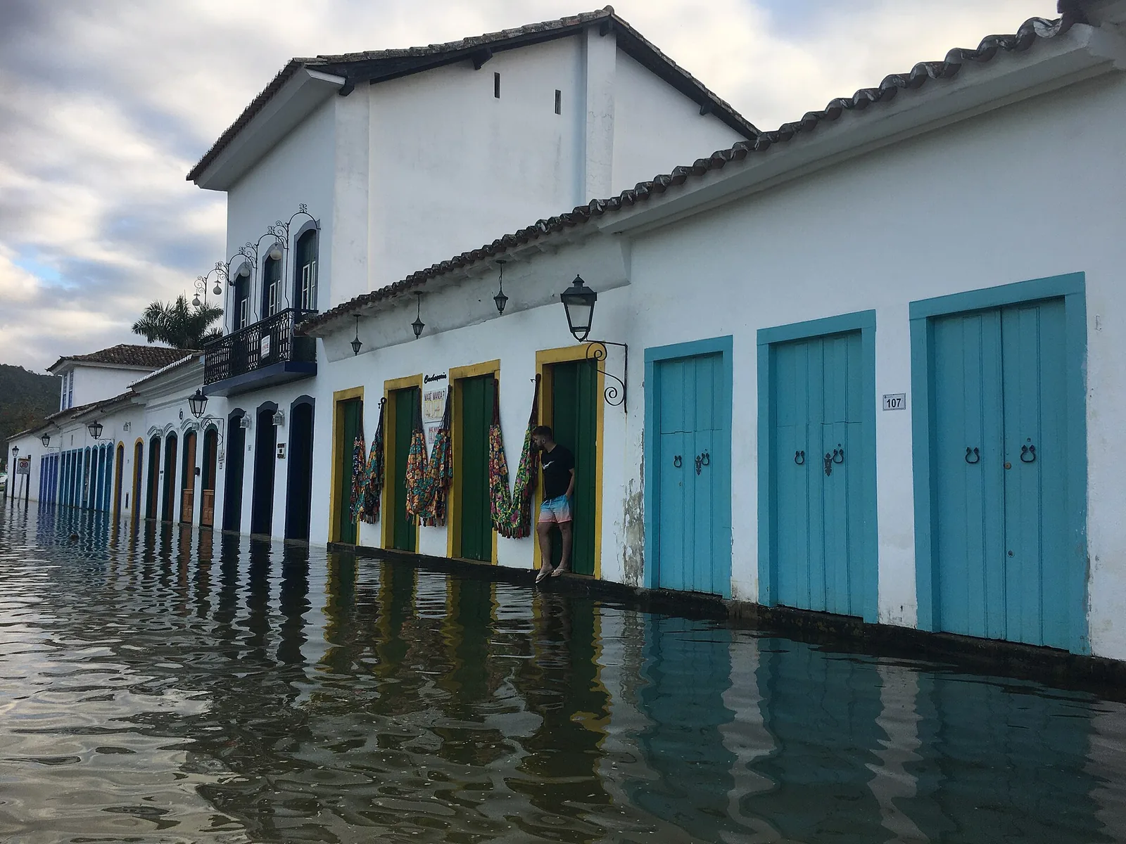
The last section from Angra down to Paraty is, for my money, the most beautiful part of the whole drive and also the most demanding. The road narrows, the curves tighten, and the forest closes in until the canopy is almost over the tarmac in places. You pass small caiçara fishing communities, roadside stalls selling bananas and cachaça, and turn-offs to beaches you will want to come back for. Take it slowly. This is where impatient overtaking causes trouble, and where a wet road demands real respect. When you finally roll into Paraty and the colonial centre appears, you will understand why people make the journey. From here it is only a short climb up the hillside to the chalet, and the swimming pool waiting at the top of it.
Coming from São Paulo, and the Ubatuba approach
If you are arriving from São Paulo the calculation is slightly different, because you have a genuine choice of routes. The fast option runs inland on major highways for most of the way and only drops down to the coast near the end, and it is the sensible pick if you are tired, short on time, or driving after dark. The scenic option comes down to the coast earlier and follows the Rio-Santos north through the beach towns of the São Paulo litoral, past São Sebastião and Caraguatatuba and into Ubatuba, then across the state line to Paraty.
The coastal approach is slower and more tiring, but it is also gorgeous, and Ubatuba is a worthwhile destination in its own right rather than just a place you pass through. It has dozens of beaches, from big surf strands to sheltered coves, and a wetter, greener feel than Paraty because it catches so much rain off the mountains. If you have the appetite for a longer day, the coastal route turns your transfer into part of the holiday. Our Ubatuba guide covers the beaches worth stopping for. If you would rather arrive fresh, take the quick inland road and save the coast for a day trip once you are settled.
.jpg)
What you are actually looking at
Half the pleasure of this drive is understanding the landscape you are passing through, because it is not an accident and it is not ordinary. Three things define it.
The Serra do Mar
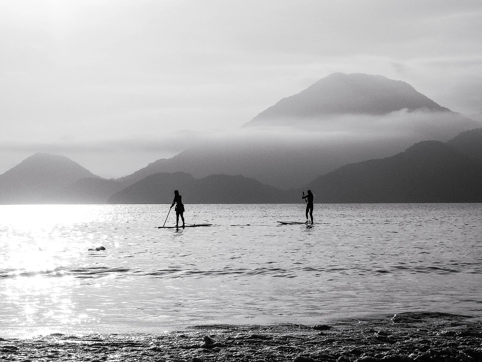
The mountain wall that runs the length of this coast is the Serra do Mar, a long escarpment that separates the coastal plain from the interior plateau where cities like São Paulo sit. It rises abruptly, sometimes to well over a thousand metres, and it is what forces the road into all those curves. It is also what keeps the coast so green. The mountains wring rain out of the ocean air, feeding the forest and the waterfalls that pour off the slopes after a wet spell.
The Atlantic Forest
The dense green that presses against the road is Mata Atlântica, the Atlantic Forest, one of the most biodiverse and most threatened ecosystems on the planet. Much of what survives in Brazil clings to exactly these steep coastal slopes, because they were too vertical to clear. Driving the Rio-Santos you are running along one of the largest remaining corridors of it. If the wildlife and the ecology of this coast interest you, our journal piece on the Atlantic Forest and its wildlife is a good companion read for the drive.
The caiçara coast
The people of this coast are the caiçara, descendants of Indigenous, Portuguese, and African communities who have fished and farmed these shores for generations. You will pass their villages all along the road, small clusters of houses at the mouths of rivers and the heads of beaches, canoes drawn up on the sand. The seafood you eat here, the manioc, the way the boats are built, all of it comes out of that culture. It is worth slowing down for, and worth respecting. These are living communities, not scenery.
The best stops heading north toward Rio
If you are driving north from Paraty toward Angra and Rio, or making day trips in that direction, a handful of stops reward the detour. None of these need booking; they are simply places to pull over and spend an hour or a morning.
- The beach coves between Paraty and Angra: the road passes turn-offs to a string of small, calm-water beaches backed by forest. Many have a simple beach shack for a coconut or a plate of fried fish. They are quietest on weekdays.
- Angra's waterfront: worth a stop for lunch and for the view of the islands, even if you are not taking a boat out. Park near the centre and walk the harbour.
- The Ilha Grande crossing: if you have a spare day, leave the car and take a boat to the island for its beaches and its car-free calm. Our island day trip guide has the timing.
For a longer itinerary that strings these together properly, including which order to do them in, see our Paraty itineraries, which build the drive into two, three, and longer stays.

The best stops heading south toward Ubatuba
Head south from Paraty and the road quickly gets wilder and greener. This is the direction of some of the finest scenery on the whole route, and of two stops that are almost worth a trip in themselves.
Trindade
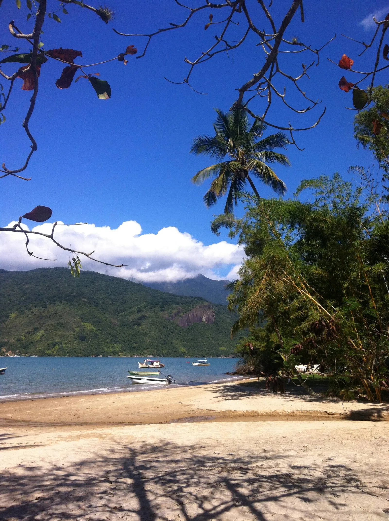
A little south of Paraty, a turn-off drops steeply down to Trindade, a former fishing hamlet turned laid-back beach village. It has a run of beautiful beaches, a natural tidal pool in the rocks that is one of the best swimming spots on the coast, and a relaxed, barefoot atmosphere. The access road is narrow and steep, and parking in the village fills up on summer weekends, so go early. Our Trindade guide covers the beaches and the natural pool in detail.
Saco do Mamanguá and the state line
Between Paraty and the São Paulo border the road passes the entrance to the Saco do Mamanguá, a long, fjord-like inlet often called Brazil's only tropical fjord. You cannot drive into it, but the turn-offs and the boat trips that start near here open up some of the quietest water on the coast. Continue south and you cross into São Paulo state, where the same road becomes the SP-055 and carries you down into Ubatuba's long chain of beaches. If the inlet draws you, the Costa Verde overview explains how it fits with the rest of the bay.
Driving the road: honest, specific advice
Here is the part that matters most, because the Rio-Santos rewards a few good habits and punishes a few bad ones. None of this is complicated, but all of it is worth taking seriously.
Drive in daylight
This is the single most important rule. The road is unlit for long stretches, the curves are constant, and at night you lose the very views that make the drive worth doing while gaining every hazard. Cyclists, pedestrians walking on the shoulder, animals, and the occasional stopped vehicle are all much harder to see after dark. Plan every leg to finish before sunset, which in the Brazilian winter can come as early as half past five.
Keep your speed honest and read the curves
This is a road for a steady, moderate pace, not a fast one. The curves are frequent and many are blind, tucked behind a rock face or a bank of forest. Brake before the bend, not in it. Do not overtake unless you can see a long, clear straight ahead, and be aware that local drivers who know the road will move faster than you; let them past when it is safe rather than feeling rushed. A slow, calm drive here is not timid, it is correct.
Watch for trucks, buses, and cyclists
You will share the road with cement trucks serving the ports, long-distance buses, and, especially on weekends, groups of road cyclists who use the Rio-Santos precisely because it is so scenic. Give the cyclists room. Behind a slow truck, be patient and wait for a genuine overtaking opportunity rather than forcing one on a curve. Most of the serious incidents on this road come from impatience, not from the road itself.
Expect variable surface
The pavement is good in many places and rough in others. Where landslides have been repaired you will find patched, uneven sections, and after heavy rain there can be potholes and debris on the tarmac. Keep enough following distance to see the surface ahead and react to it. A standard car is completely fine for the whole route; you do not need four-wheel drive for the highway itself, only for some of the steep, unpaved access roads down to particular beaches. Slow down through the road cuts after a storm, where loose stones and washed-down mud tend to gather at the foot of the slope, and give any parked or broken-down vehicle a wide, careful berth rather than swinging blind around it.
.jpg)
When to go, and when to stay off the road
Timing is everything on this coast, and it works on two scales: the season and the day.
The wet season runs roughly from December through March, the Brazilian summer, and it is the busiest tourist period and also the riskiest for the road. Heavy, concentrated rain on these steep slopes can trigger landslides and rockfalls, and the authorities occasionally close sections of the Rio-Santos as a precaution when the forecast is severe. That does not mean you should not visit in summer; the coast is at its lushest and warmest then. It means you should watch the forecast, avoid driving during an active downpour, and build slack into your plans in case a section is temporarily shut. The drier, milder months from about April to September make for easier, more predictable driving, with the trade-off of cooler water and shorter days. Our guide to the best time to visit Paraty weighs all of this up season by season.
On the scale of a single day, the rules are simpler. Avoid the road at night. Avoid setting off into a heavy storm. And if you can, avoid the peak of a holiday weekend, when the outbound Friday and the returning Sunday can turn a four-hour drive into six. Midweek and mid-morning are your friends.
Self-drive versus a private transfer
Not everyone should drive this road, and there is no shame in deciding it is not for you. Here is how to make the call honestly.
Self-drive suits you if you are comfortable on winding two-lane roads, you want the freedom to stop at beaches and viewpoints on a whim, and you are travelling on your own schedule. A rental car turns the whole coast into your itinerary and pays for itself in flexibility once you are based here, because so much of what is good around Paraty sits at the end of a short drive. If that is you, pick the car up in the city, drive in daylight, and enjoy it.
A private transfer suits you if you are arriving jet-lagged on a long-haul flight from abroad, you are travelling with small children or older relatives, you are not confident on mountain roads, or you simply want to look out of the window instead of concentrating on the tarmac. A good driver who knows the Rio-Santos will read the curves and the weather for you, and you arrive relaxed rather than frazzled. For the long Rio or São Paulo leg in particular, many of our guests book a transfer in and then either rent a car locally or lean on drivers for day trips. If you would like, we can arrange a reliable transfer for your arrival; just tell us your flight details through the contact page and we will sort it before you land.
There is also the bus, which is cheap, comfortable, and frequent between Rio, Paraty, and São Paulo, run by established coach lines. It is a genuinely good option if you do not want to drive and do not need a private car, and it drops you in central Paraty within a short taxi ride of the chalet. The trade-off is that you are on the bus timetable rather than your own, and you cannot stop at a beach on impulse.
Fuel, tolls, food, and other practicalities
A few housekeeping notes that make the drive smoother.
- Fuel: fill up before the quietest stretches. There are petrol stations through the towns along the route, but the gaps between them south of Angra and around the state line can be long, so do not run the tank low. Most stations take cards, but carry some cash as a backup.
- Tolls: expect a toll or two on the approaches, particularly nearer the cities. Keep a little cash and a card handy. The coastal Rio-Santos itself is largely toll-free through the scenic middle section.
- Food and coffee: the towns along the way are your friends. Angra is the obvious lunch stop northbound; the beach shacks and small roadside restaurants between Paraty and Trindade handle the southern leg. A plate of fresh fish, rice, and beans at a simple place by the water is one of the pleasures of the drive, not a compromise.
- Restrooms: use the petrol stations and the town restaurants. Plan a stop in Angra on the long leg from Rio.
- Connectivity: mobile signal drops in and out among the mountains and tunnels. Download your map for offline use before you set off, and do not rely on live navigation the whole way.
Once you reach us, the driving eases right off. The chalet sits a short way up the hillside above the bay, and most of what you will want, the historic centre, the boat quays, the nearest beaches, is ten to twenty minutes away. You can read more about the house itself, the infinity pool and the three-way bay view, and how it works as a base for exploring the coast.
Building the drive into a trip
The mistake people make is treating the Rio-Santos as a transfer to be endured at each end and forgetting it in between. The better approach is to make the road part of the holiday. Here is one honest way to think about it for a week on this coast.
- Arrival day: drive or transfer in from Rio in the morning, take lunch in Angra, and roll into Paraty by mid-afternoon. Do nothing ambitious. Swim, look at the view, let the journey settle.
- Paraty days: use the town and the water. Walk the colonial centre, take a boat out into the bay, and save the driving for a rest.
- A southern day: drive the short, beautiful leg to Trindade or toward the Mamanguá inlet, beach in the morning, home for a swim before dark.
- An island day: head north to Angra, leave the car, and cross to Ilha Grande for the day.
- Departure day: leave in the morning, in daylight, with time in hand.
That rhythm keeps the long drives at the ends of the trip and turns the middle into short, scenic hops you actually look forward to. For a fuller version of this plan, our journal has a ten days from Rio down the green coast itinerary that builds the whole coast into one trip, and the explore Paraty page gathers the day trips and experiences within easy reach of the house.
A base at the top of the hill
The thing about a demanding drive is how good it feels to finish it. There is a particular pleasure in coming off the Rio-Santos, climbing the last few minutes up the hillside above Paraty, and stepping out onto a deck four hundred metres above the bay with Paraty, Angra dos Reis, and Ilha Grande all in view at once. The road has done its job. You are here.
That is really the argument for a proper base on this coast rather than a string of one-night stops. When you have a house to come back to, a pool to swim in at the end of the day, and a single view that gathers the whole region into one frame, the driving becomes something you dip into rather than endure. You drive out in the morning to a beach or an island, and you drive home in the afternoon to a swim. The Rio-Santos stops being the hard part of the trip and becomes one of its quiet highlights. If that sounds like the kind of week you are after, come and see the house, and when you are ready to plan the details of getting here, tell us your dates and we will help you shape the drive.
A last word on the road
The Rio Santos road BR-101 asks something of you. It asks for daylight, for patience, for a steady pace on the curves and respect for the weather. In return it gives you one of the finest coastlines in Brazil at windscreen height for hours on end, the Atlantic on one hand and the Serra do Mar on the other, colonial towns and green islands and caiçara villages threaded along its length. Treat it as part of the holiday rather than the price of admission, and it quietly becomes one of the best days of the trip. Drive it well, stop often, and let the coast do the rest.


Frequently asked questions
Yes, thousands of people drive it every week without incident, but it demands attention. It is a two-lane coastal highway with tight curves, blind bends, cyclists, and the occasional slow truck. Drive in daylight, keep your speed sensible, do not overtake on curves, and you will be fine.
Plan on roughly four and a half hours for the 250 kilometres or so, not counting stops. In practice most people take longer because the scenery and the beaches invite you to pull over. Leave in the morning and treat lunch as part of the plan.
Officially the whole route is the Rodovia Governador Mário Covas, but almost everyone calls the coastal stretch the Rio Santos road, or Rio-Santos. In Rio de Janeiro state it carries the BR-101 number; on the São Paulo side around Ubatuba the same road is also signed as the SP-055.
If you are comfortable on winding two-lane roads and want the freedom to stop, self-drive is worth it. If you are arriving jet-lagged from abroad, travelling with small children, or simply want to look at the view instead of the road, a private transfer for the long legs is money well spent.
The wettest months, roughly December through March, bring heavy rain that can trigger landslides and rockfalls and occasional closures. Avoid driving it at night in any season, and check road status before setting out during a summer downpour.
About 70 to 75 kilometres, which sounds short but takes at least an hour and often longer because the road twists the whole way and crosses the state line. It is an easy day trip in either direction with time to spare on a beach.
Yes. Angra dos Reis sits directly on the route between Rio and Paraty, and the ferries and boats to Ilha Grande leave from Angra and from nearby Conceição de Jacareí, so it is easy to fold an island day into the drive.